Look at These 7 Misshapen Michigan Maps from History
In the early years of cartography in the United States, things were difficult with the country's difficult, and alternating terrain. But even by the mid- to late-1700s, the country had a pretty good idea as to where all of the state lines were, and what the states and territories looked like... except one.
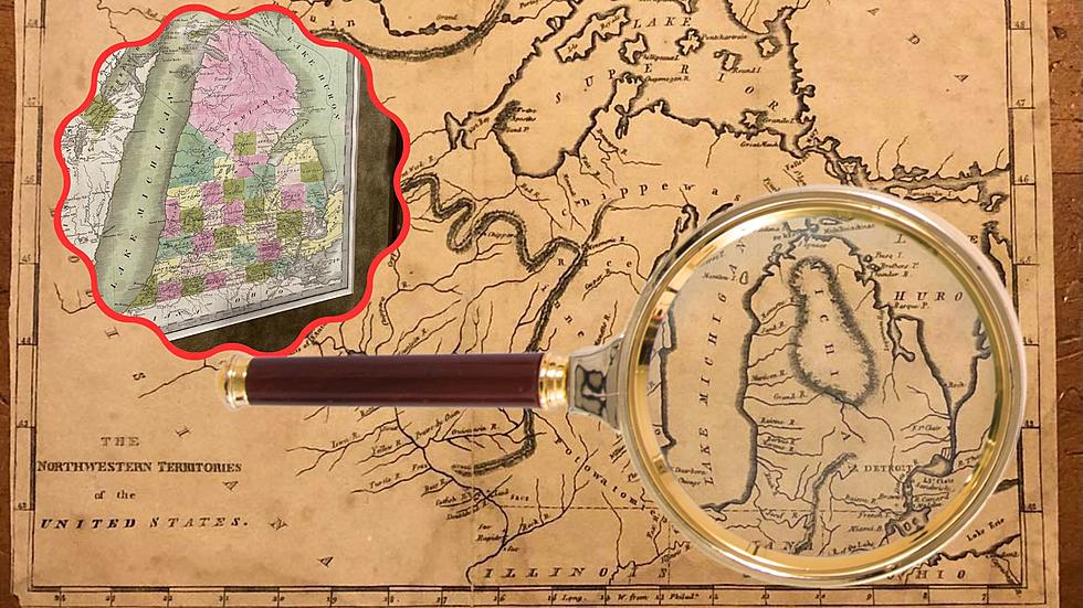
In the first 100 years of this country, cartographers just couldn't quite get the hang of Michigan, and it's "Mitten" shape in and around the Great Lakes.

It wasn't until around the mid to late 1800s that map makers, began to "round out" Michigan on its western border. In 1837, the first geological survey was ordered by Dr. Douglass Houghton. His team included some of the best geographic surveyors.
A second survey in 1859 further established the northern parts of the state, including the Upper Peninsula, and finally, Michigan began to take shape.
But before then, as far as we can tell from the maps pictured below... map makers just kinda... guessed. And these were well-storied, and respected map makers. But even they had trouble perfecting Michigan's now Iconic Mitten shape.
Look at these Seven Misshapen Michigan Maps From History
Crazy Images You Can See In Michigan Off Google Maps
More From 107.7 WRKR-FM