Massive Michigan Winter Storm: Ice, Flooding, Wind- What You Need To Know
The first major winter storm of 2020 is hitting much of the Lower Peninsula. Warnings have been posted for days indicated that different areas will be affected in different ways.
CLICK HERE to access Consumer's Energy's Power Outage map

UPDATE- Saturday 1/11/2020 6:20pm:
Minor flooding on some Kalamazoo roadways, among other areas, has been reported. Nearly 3 inches of rain fell in the Three Rivers area Friday night into Saturday. Kalamazoo saw just over 2 inches. According to WWMT, a roadway in Vicksburg is covered in water.
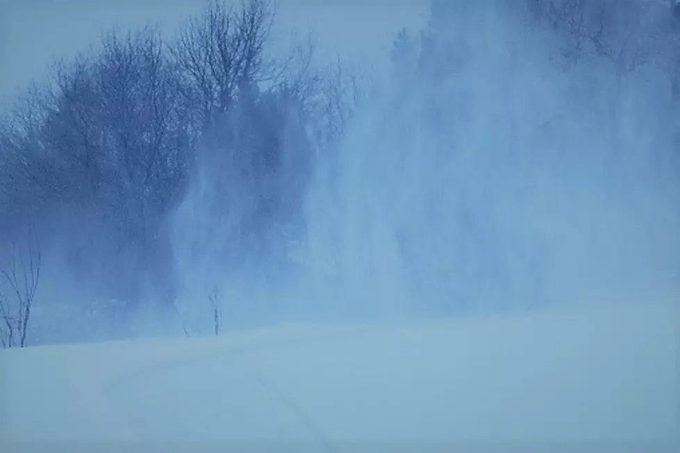
Meanwhile, a second wave of precipitation moving in from the southwest will be in West Michigan from Saturday evening and into Sunday morning. With temperatures at or below freezing, then falling, it will likely cause very slick road conditions and perhaps an ice build-up on trees and power lines. This could still cause outages by the morning. In the Kalamazoo and Battle Creek areas, the transition from an icy mix to snow is expected between 11:00 pm and midnight. Further north, toward Grand Rapids, it should be mostly a snow event by 9:00 pm.
Areas where the precipitation falls as an icy mix for the longest amount of time will likely be the most affected.
UPDATE- Saturday 1/11/20 3:30 pm:
The transition over to freezing, sleet and ice has begun in portions of Southwest Michigan but the more concerning and impactful portion of the storm is still to come. We reached out to WWMT's Chief Meteorologist Keith Thompson for his thoughts...
The transition to freezing rain and sleet is well underway, but so far, impacts are minimal. However, another round of precipitation is on the way this evening which will likely come in the form of freezing rain and sleet so we’re far from being out of the woods.
UPDATE- Saturday 1/11/20 1:15 pm:
Several areas are starting to see rain transition into an icy mix including Battle Creek and Kalamazoo. Further north and to the east, concerns for ice accumulation have begun, but this is expected to begin drifting to the south during the afternoon and evening. Several weather advisories are in effect across the state related to snow, ice, flooding and wind.
A Winter Storm Warning remains in effect until 7:00 am Sunday for Allegan, Barry, Calhoun, Eaton, Jackson, Kalamazoo, Kent, Ottawa and Van Buren counties as well as many other counties in lower Michigan. According to the National Weather Service, rain changing to ice then eventually snow, along with heavy winds, could cause power outages and tree damage. Travel will be difficult to potentially impossible due to icing on roadways. If you must travel, keep an extra flashlight, food, and water in your vehicle in case of an emergency.
Two outages have already been reported. Consumer's Energy shows about 300 people without power in part of southeastern Barry County and about 200 northwest of Richland in Kalamazoo County.
The next indication of intensity in West Michigan would be if the NWS upgrades this to an Ice Storm Warning, which is rarely issued. However, several counties are currently under an Ice Storm Warning in parts of eastern and southeastern Lower Michigan including Bay, Midland, Saginaw, Huron, Tuscola, Sanilac, Shiawassee, Genesee, Lapeer, Livingston and Oakland Counties. Those areas could see up to 3/4" of ice accumulation which could be devastating and leave hundreds of thousands without power.
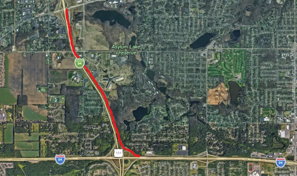
Berrien, Branch, Cass & St. Joseph counties are far enough south to be outside the winter storm threat, but flooding is the main concern in these areas, but also for many who are also under the threat of snow and ice, mentioned above. A Flood Warning continues for the following rivers in Southwest Michigan: Grand River at Jackson affecting Jackson County, Kalamazoo River At Marshall affecting Calhoun County, Kalamazoo River At Comstock affecting Kalamazoo County, Portage River near Vicksburg affecting Kalamazoo County, St Joseph River At Burlington affecting Calhoun County.
2 to 2.5 inches of rain has fallen overnight across much of the area between Kalamazoo, Lansing, and Jackson. This water will be finding its way into the rivers over the next few days and will lead to significant increases in water level. Minor flooding is expected at numerous locations, with a few spots going into moderate flood levels. Additional precipitation today will be falling as freezing rain, sleet, or snow, at most locations. This will somewhat limit how much additional water is able to start flowing into the rivers.
The Flood Warning continues for the Kalamazoo River At Comstock from late Monday night to Thursday morning. At 11:15 AM Saturday the stage was 6.1 feet. Flood stage is 9.0 feet. The river is forecast to rise above flood stage by early Tuesday morning and continue to rise to near 9.5 feet by Tuesday evening. The river will fall below flood stage by Wednesday before midnight. Expect moderate flooding of homes along Portage Creek, near Gull Street and Recreation Park.
Stay with us for the latest updates on the storm.
ORIGINAL REPORT:
Friday evening, numerous stores were slammed as people began taking precautions and stocking up in case there are power outages and/or travel becomes limited. This was the scene at the Meijer store on Shave Rd. in Portage Friday evening, one that was a similar scene at many other stores in the West Michigan region too.

More From 107.7 WRKR-FM