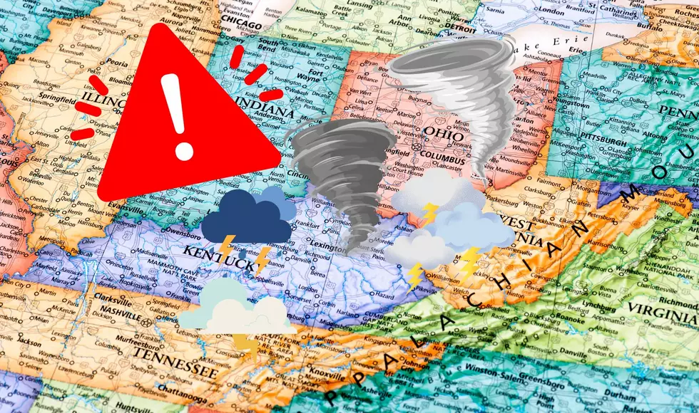
Severe Weather Alerts In Effect Across Southwest Michigan
UPDATE- 6/1/19 8:05pm:
A Severe Thunderstorm Warning remains in effect for Branch & Calhoun Counties until 8:15pm and Allegan & Barry Counties until 8:45pm. Golf ball sized hail and wind gusts to 60 mph have been reported.
ORIGINAL REPORT:
Most of Southwest Michigan is included in a threat for some strong to severe storms Saturday evening. The National Weather Service has issued a Severe Thunderstorm Watch for Allegan, Barry, Berrien, Branch, Calhoun, Cass, Jackson, Hillsdale, Ionia, Kalamazoo, Kent, Ottawa & Van Buren Counties until 11:00 pm Saturday.
Heavy storms have been observed moving over Lake Michigan and in the Chicago area from the west to east.
A Severe Thunderstorm warning had been in effect for Calhoun County until 7:30 pm as some dangerous storms were moving through parts of the county including the Battle Creek area. Those storms were reported to have large hail and frequent cloud to ground lightning. Some reports of hail were golf ball sized. No damage reports have been given at this time, but the warning is now canceled.
We will continue to track the severe weather potential and bring you the latest updates on-air and online should any more warnings be issued this evening.
More From 107.7 WRKR-FM